By Kevin Byrne, AccuWeather.com Staff Writer
March 30,2016; 10:31PM,EDT
Severe thunderstorms have developed over the central United States and will threaten parts of the Plains and Mississippi Valley into Wednesday night.
People across the region should prepare for the possibility of travel delays, especially during the rush hour commute, as severe storms spawn damaging winds, large hail and potentially a few tornadoes.
"Cities at risk for severe thunderstorms include Tulsa and Oklahoma City, Oklahoma; Fayetteville and Little Rock, Arkansas; Memphis, Tennessee; Joplin and Springfield, Missouri, Tyler, Texas; and Shreveport, Louisiana," AccuWeather Meteorologist Brett Rathbun said.
Thunderstorms are forecast to last into Wednesday night with the worst weather shifting from Kansas, Oklahoma and Texas into Missouri, Arkansas and Louisiana.

RELATED:
Severe thunderstorms to target central US at midweek
Interactive weather radar
Map: Current severe weather watches and warnings
UPDATES: (All times are listed in CDT)
9:25 p.m. CDT Wednesday: Flash flooding continues in Jonesboro, Arkansas, police report.
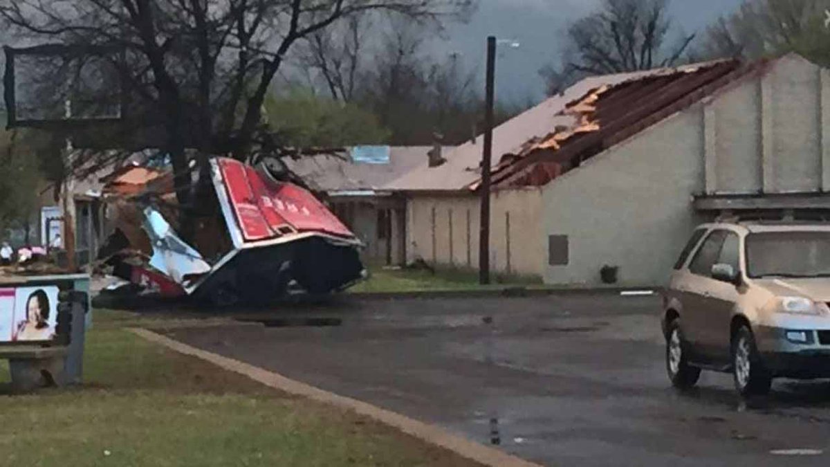
Funnel Touches Down In North Tulsa, Damages Church, Power Lines http://bit.ly/1V7vkd0
8:55 p.m. CDT Wednesday: A flash flood emergency has been issued for Jonesboro, Arkansas.
8:49 p.m. CDT Wednesday: There are several reports of downed power lines around Tulsa:

8:14 p.m. CDT Wednesday: A record rainfall occurred today in North Little Rock, Arkansas:

5:59 p.m. CDT Wednesday: Cars are stalling out in floodwaters near Batesville, Arkansas:
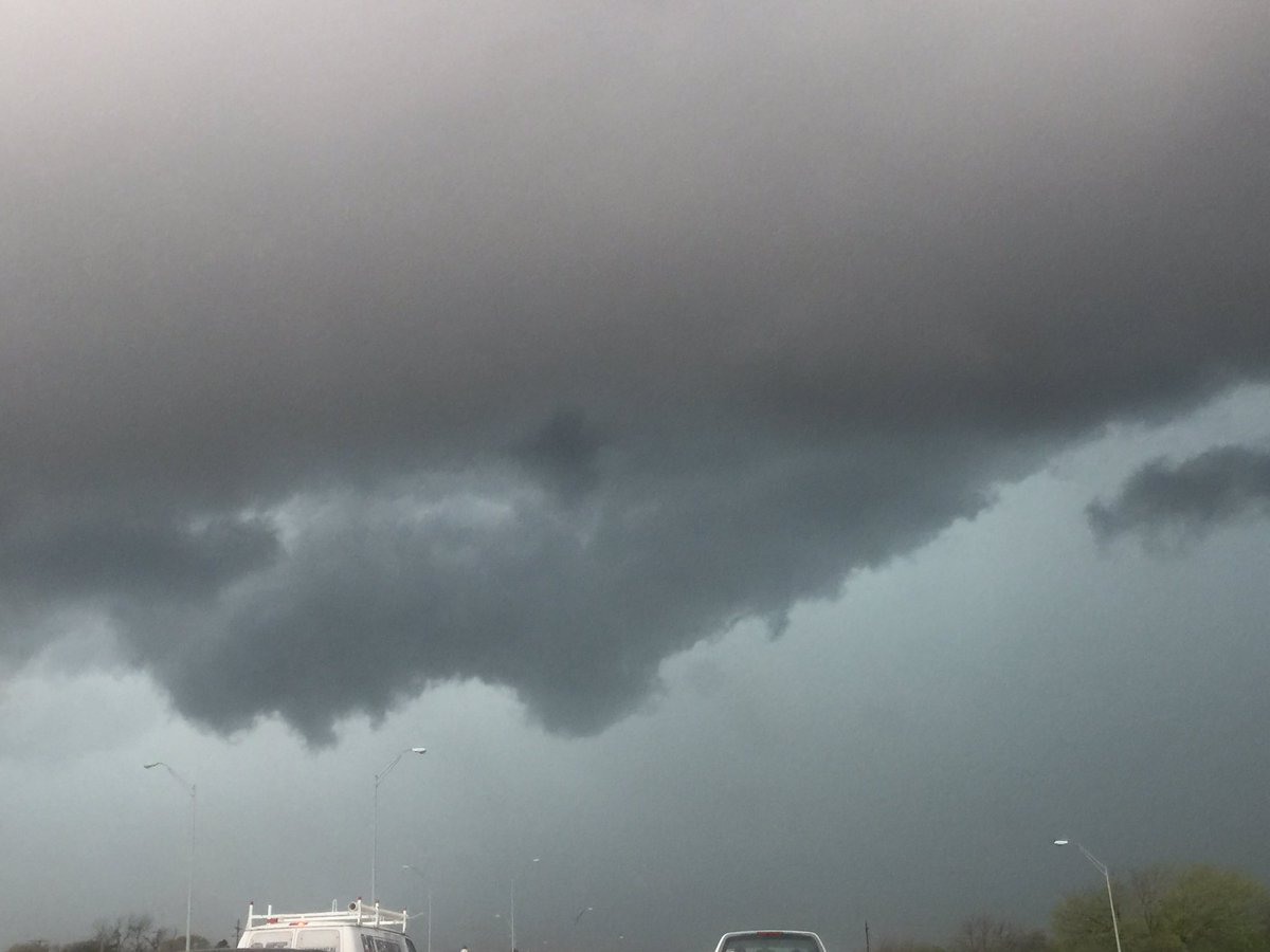
Looking west from @CityOfArlington towards Fort Worth.
2:30 p.m. CDT Wednesday: Hail as large as tennis balls reported near Breckenridge, Texas by emergency manager.


No comments:
Post a Comment