If I see one more forecaster present a water vapor image and point to
the ribbon of bright colors and bright white extending northward from
the eastern Gulf of Mexico / Florida and describe it as a "plume of
tropical moisture," I'm going to scream. First, those are high cloud
tops (composed of mostly ice crystals) and NOT water vapor. Yes, high
cloud tops contaminate water vapor images! Second, even if it were water
vapor (and it's NOT), the temperatures of these features in this
"plume" are -50 degrees Celsius, -60 degrees Celsius and even minus 70
degrees Celsius (or lower). Do you know how much water vapor resides at
these kinds of rarefied frigid altitudes? You guessed it! Not very much.
It is just so disheartening to see forecasters use water vapor images
to "infer" lower-tropospheric moisture content. It's just bad science,
plain and simple.
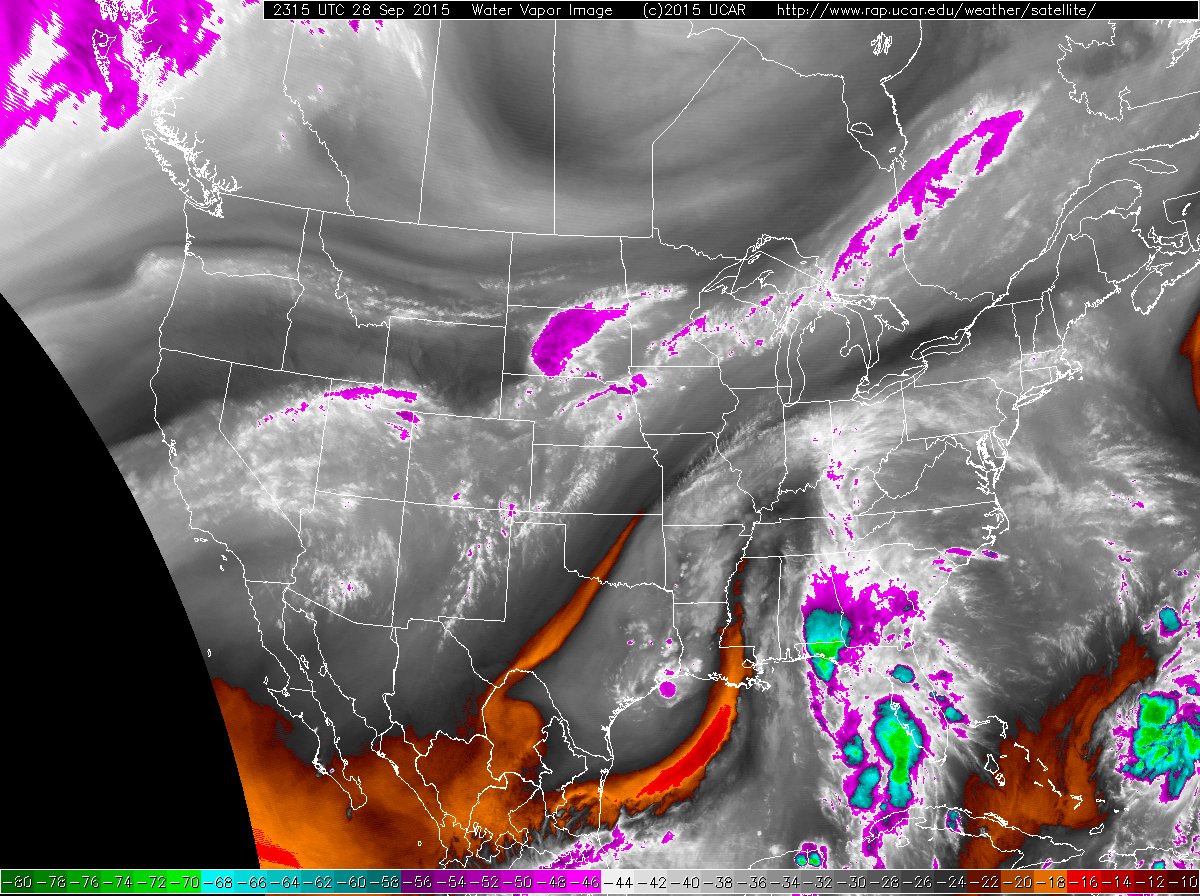
An enhanced water-vapor image at 2315 UTC on September 28, 2015. Courtesy of UCAR.
An enhanced water-vapor image at 2315 UTC on September 28, 2015. Courtesy of UCAR.
No comments:
Post a Comment