By Kevin Byrne, AccuWeather.com Staff Writer
May 26,2015; 8:06PM,EDT
As of 6:45 a.m. CDT, this blog is no longer active. Archived reports from the storm can be found below. Click here for more photos and the storm recap.
Severe storms continue to impact portions of the southern Plains after erupting over the region on Monday afternoon.
Damaging wind gusts and flash flooding are the most widespread concerns, although a few tornadoes are also possible.
"A bow of severe storms will continue to push east, bringing damaging winds in excess of 65 mph, large hail, flash flooding and tornadoes," said AccuWeather Meteorologist Jordan Root.
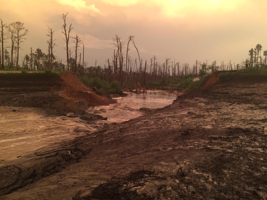
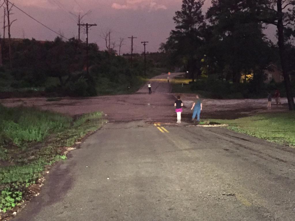
Flash flooding may turn out to be the most dangerous impact, creating life-threatening conditions. On Monday evening, a dam ruptured in Bastrop, Texas, sending an unrelenting wave of water downstream, flooding roads and forcing water rescues to be conducted.

UPDATES: (All times listed in CDT)
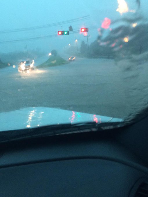
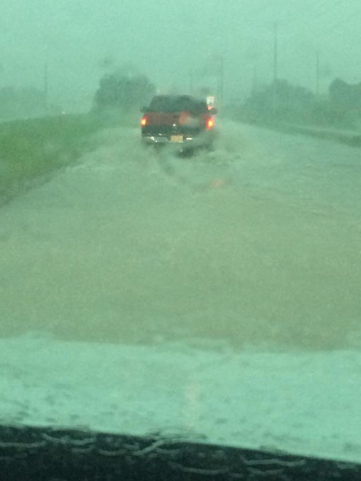
6:25 a.m. CDT Tuesday: Flash flooding continues to cause severe travel problems this morning in Houston:
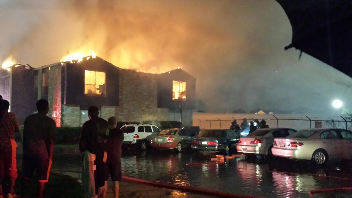
5:41 a.m. CDT Tuesday: Lightning may have caused a fire at a Houston apartment complex:
Viewer Rico Freeman took this picture of the Main Ridge apartments. Firefighters believe it as started by lightning
4:12 a.m. CDT Tuesday: Houston METRO has suspended all transportation services for the morning due to the severe weather and flooding, according to ABC13 Houston. This included park and rIde buses, light rail and MetroLift
3:15 a.m. CDT Tuesday: A line of gusty thunderstorms is approaching New Orleans. Wind gusts past 50 mph and some urban flooding should be anticipated.

2:51 a.m. CDT Tuesday: Strong thunderstorms that moved through Jackson, Mississippi brought gusty winds that blew down some trees, according to law enforcement.
2:27 a.m. CDT Tuesday: The flash flood emergency has been expanded to include all of downtown Houston.
Waters continue to rise off White Oak be Taylor and Houston @abc13weather #houstonflood

1:15 a.m. CDT Tuesday: Some basketball fans remain in the Toyota Center in Houston waiting for the weather to clear following Monday night's Houston Rockets game.
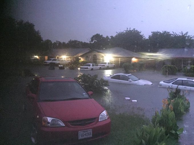
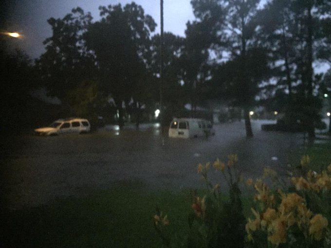
1:00 a.m. CDT Tuesday: Flashes of lightning helped there be enough light for these photos of flooding to be taken in Houston.
@NWSHouston Beechnut St @ Boone.

11:54 p.m. CDT Monday: More rain has fallen in Buffalo Bayou, Texas, than they typically receive in all of May!

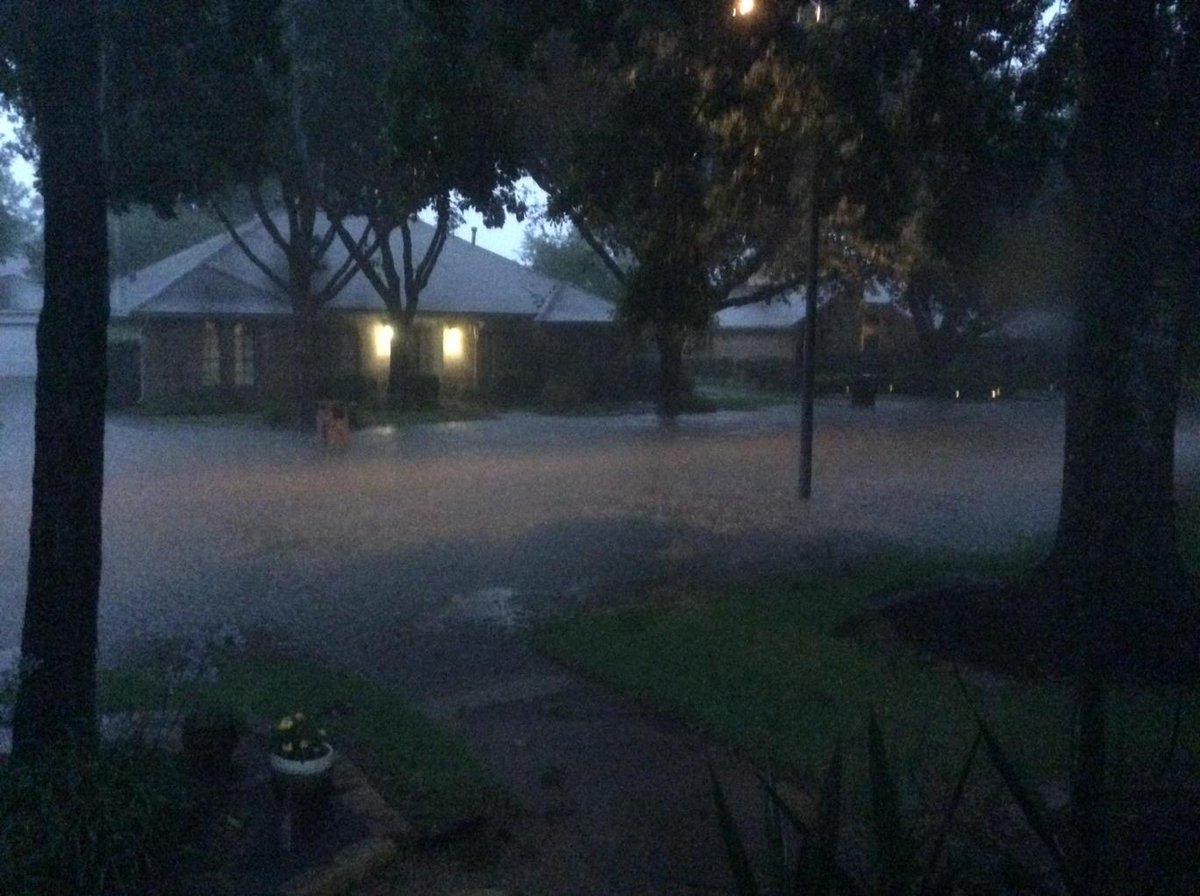
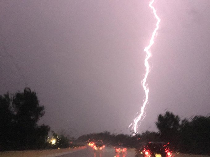
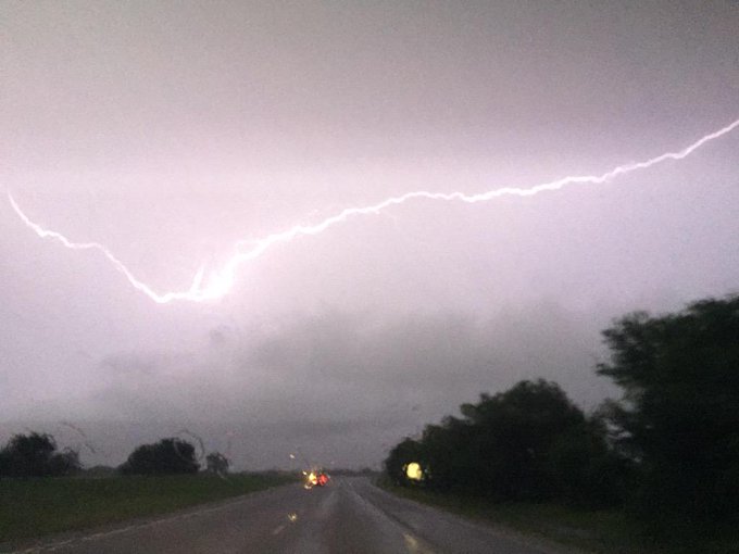
11:24 p.m. CDT Monday: Lightning allowed a glimpse of the flash flooding occurring near Houston.
@NWSHouston Lightning illuminating the flash flood in the neighborhood
10:57 p.m. CDT Monday: A flash flood emergency is now in place just west of downtown Houston. This is a very dangerous and life-threatening situation.
Water from the Bastrop State Park dam break has all drained into the River. Kaanapali east will remain closed..
10:28 p.m. CDT Monday: Significant flooding is occurring in parts of Houston due to persistent torrential downpours.
10:06 p.m. CDT Monday: Lightning from the storm moving into Houston.

9:25 p.m. CDT Monday: Water rescues continue due to the flooding caused by the dam rupture in Bastrop, Texas.
Water from #Bastrop State Park Lake Dam break rushing across road in Tahitian Villiage. @foxaustin
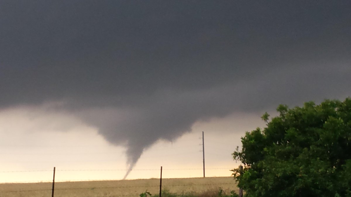
Thanks to Cynthia Titzman for sending this picture of a tornado in between Poth & Floresville earlier this evening
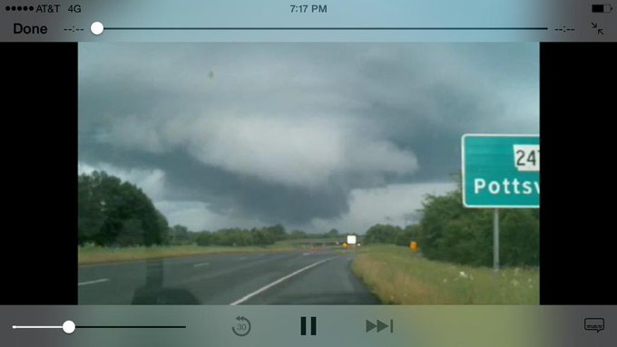
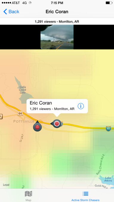
Rotating wall cloud over I40 near Pottsville, AR on Eric Coran's stream at http://tvnweather.com/live
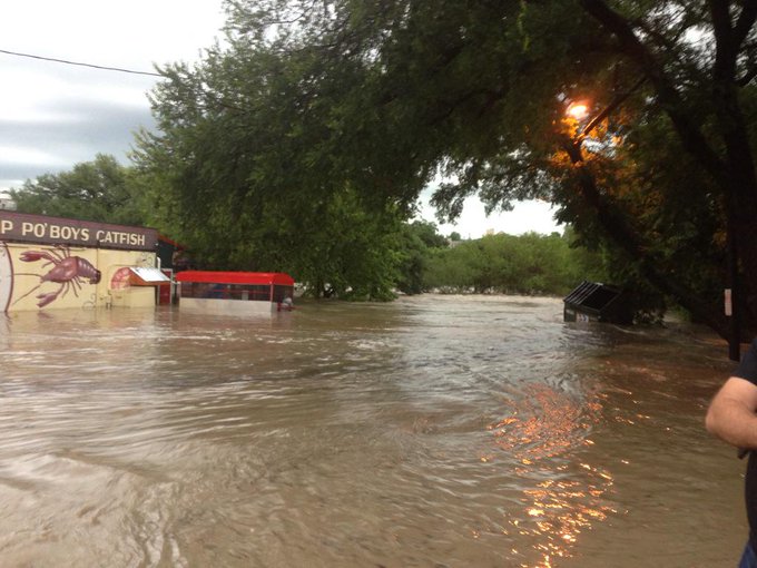
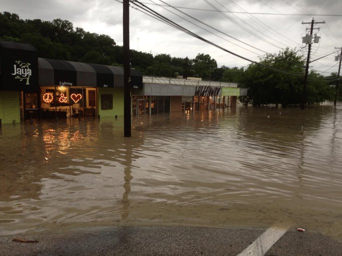
Lamar near shoal creek saloon. Worse I've ever seen. #atxfloods #atxweather
Hail measuring 4.5 inches reported near Netawaka, Kansas, NWS reports.
5:22 p.m. CDT Monday:
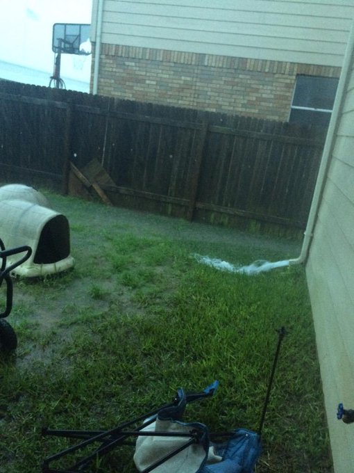
@TxStormChasers -- flooding on Dessau Rd in North Austin/Pflugerville... And our backyard!
4:25 p.m. CDT Monday: Powerful winds coming to Calvert and Hearne, Texas.

3:18 p.m. CDT Monday: Damage reported to homes from the tornado near Blue, Oklahoma.
2:59 p.m. CDT Monday: A funnel cloud was reported near Georgetown, Texas.













No comments:
Post a Comment